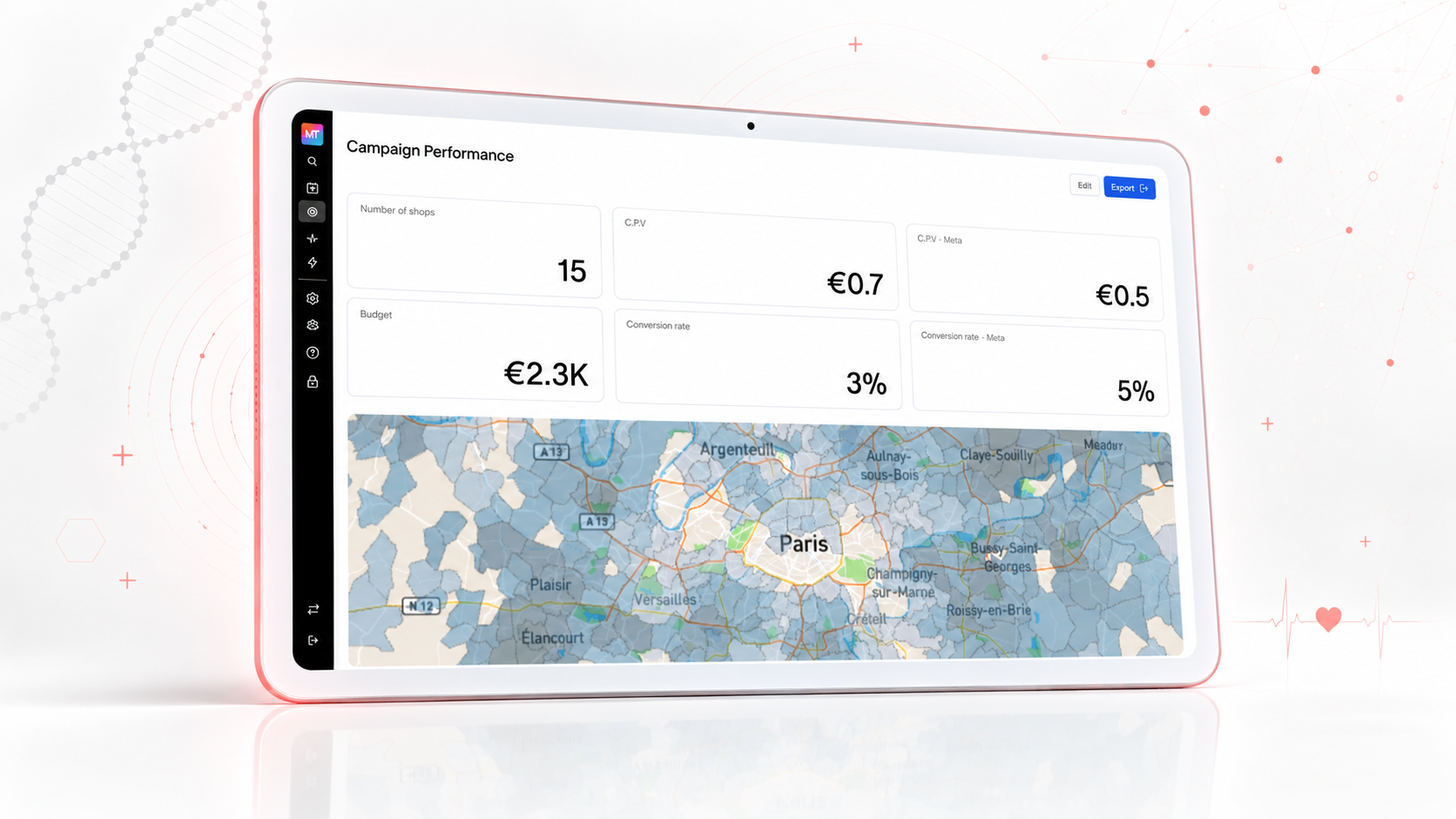

About project
Mytraffic combines mobility, footfall, vehicle, spending, demographic and point-of-interest data in one location-intelligence platform. We helped build the geospatial analytics experience, scalable data pipelines and collaborative workspaces that enable retailers, real-estate teams, municipalities and infrastructure operators to evaluate locations and make confident expansion decisions.
Duration
6 months
Technologies
Business challenge
Location decisions depended on fragmented mobility, demographic, spending and point-of-interest datasets. The platform needed to turn massive volumes of geospatial events into clear, fast and secure insights for different industries, while keeping maps, comparisons, exports and collaborative workflows responsive at European scale.
Our solution
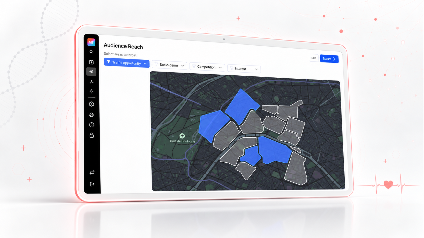
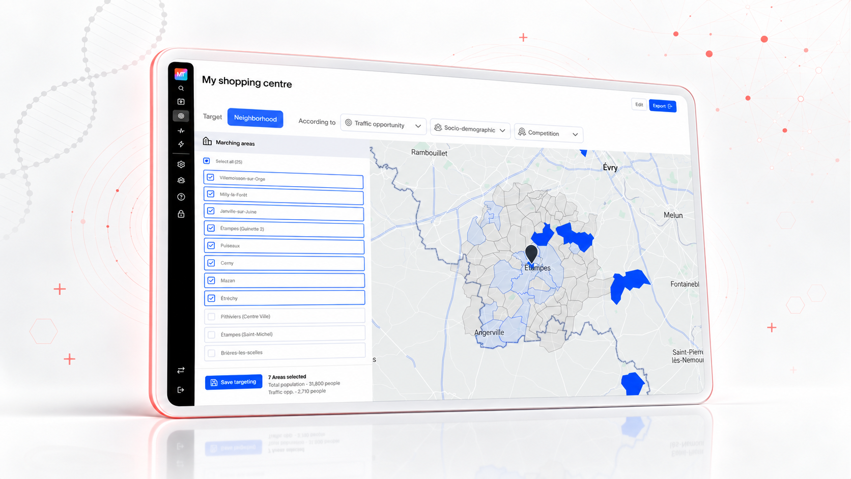
- Built interactive map layers, heatmaps, clustering, catchment areas, travel zones and spatial comparisons with PostGIS and Turf.js.
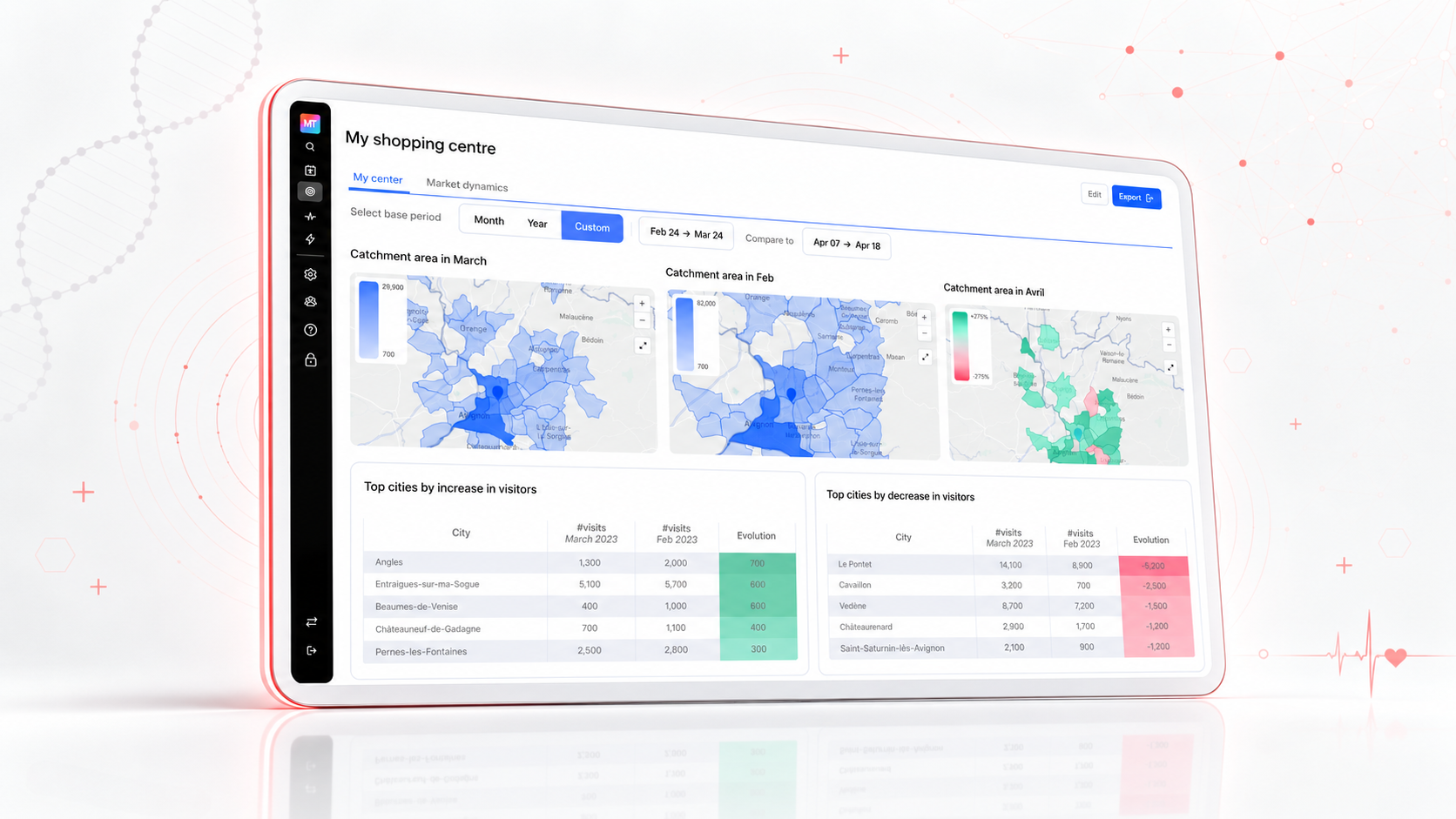
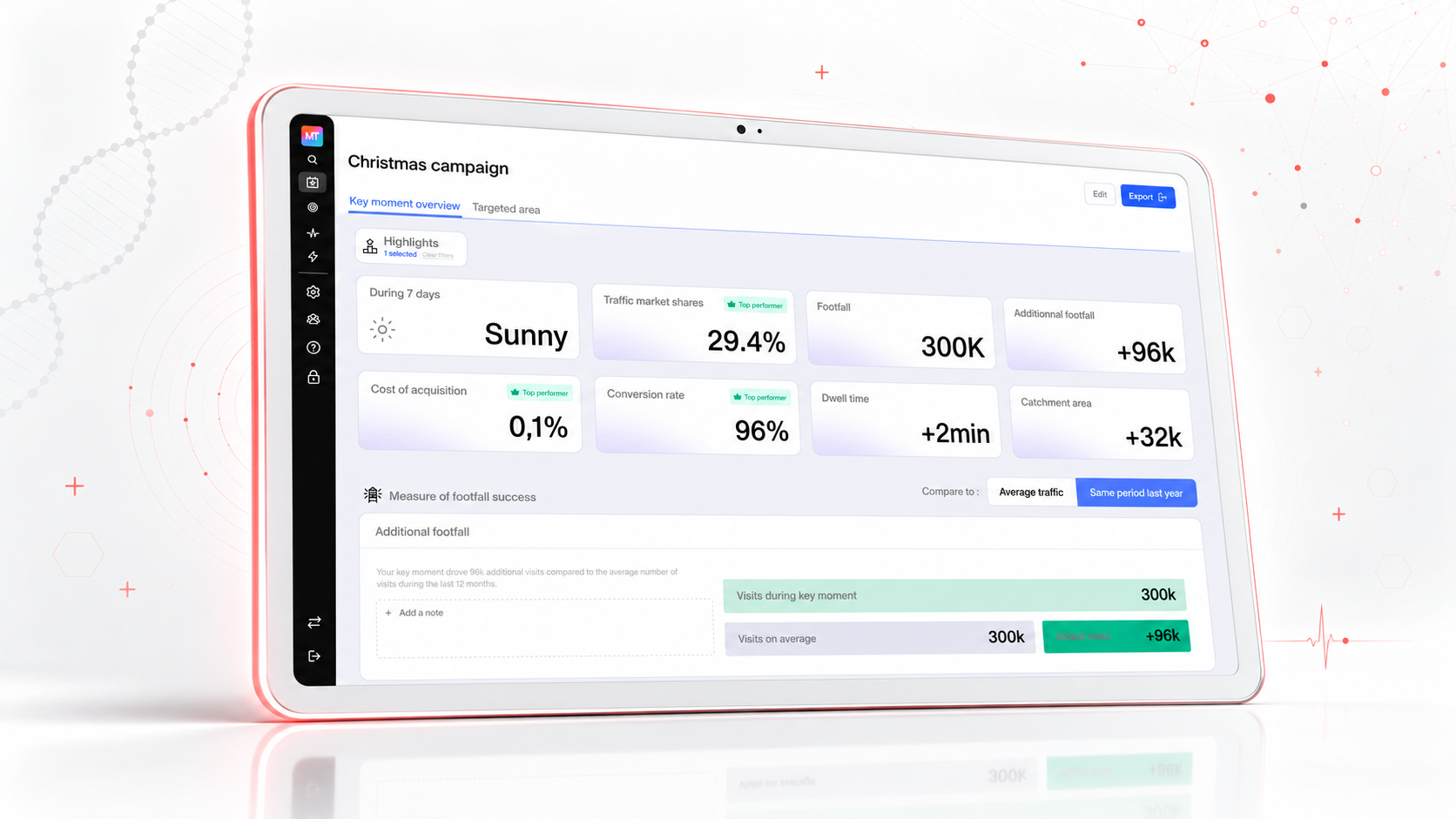
- Created D3.js reporting for footfall, visitor profiles, market share, seasonality and location benchmarks.
- Developed Kafka and ClickHouse pipelines for high-volume mobility data ingestion and historical analytics.
- Delivered Nest.js services for location search, portfolio analysis, competitor benchmarking, alerts, exports and shared workspaces.
- Integrated an AI geospatial assistant that converts business questions into structured searches and reports.
- Deployed containerized services on AWS with Kubernetes autoscaling, monitoring and scheduled data refreshes.
Roadmap
Discovery & architecture
Product discovery, data-source audit, UX flows, security requirements and scalable cloud architecture.
Data foundation
PostGIS data model, Kafka ingestion, cleansing, normalization, enrichment and ClickHouse analytics pipelines.
Geospatial experience
Interactive maps, heatmaps, clusters, geographic boundaries, radius analysis, travel zones and catchment areas.
Analytics & platform services
D3.js reporting, Nest.js APIs, search, competitor benchmarking, alerts, exports and shared customer workspaces.
AI & portfolio intelligence
Natural-language geospatial assistant, portfolio monitoring, cannibalization analysis and underserved-market discovery.
Optimization & deployment
Redis caching, performance tuning, role-based access, monitoring, automated refreshes and Kubernetes production rollout.
Main Functionality
Geospatial mapping & spatial intelligence
Mobility data pipelines & analytics
Visual reports & location benchmarks
AI geospatial assistant & portfolio monitoring
Scalable platform, workspaces & cloud
Contact Us