About project
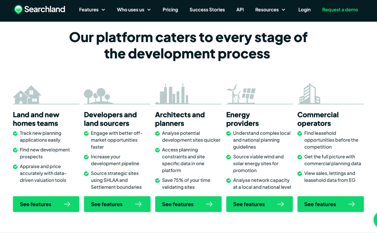
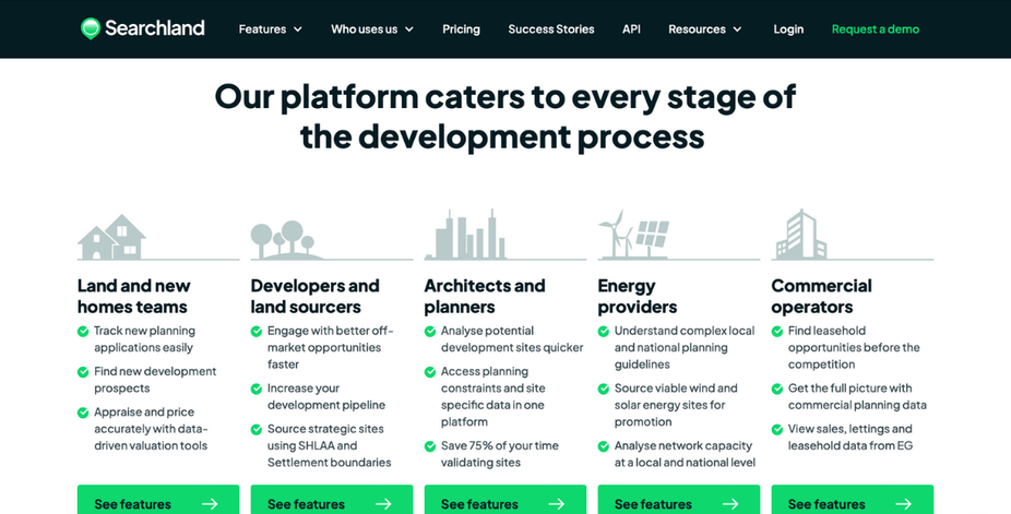
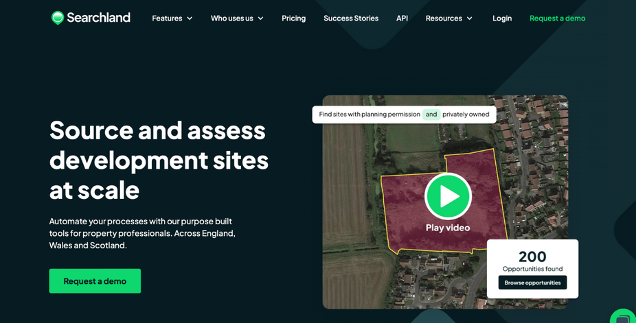
Searchland is a B2B off-market land sourcing platform that offers comprehensive data on property and land, empowering businesses to efficiently identify and acquire valuable off-market opportunities. By providing accurate, real-time insights, Searchland streamlines the land sourcing process for investors, developers, and real estate professionals.
Duration
04.2023 – 04.2024
teCHNOLOGIES
Typescript, React.js, Next.js, Node.js, Nest.js, MUI, GraphQL (Apollo), Open AI, Storybook, Kubernetes, Puppeteer, ArcGIS
Business solutions
- modular and Scalable Architecture:
Leveraged the Nx monorepo structure and adopted a microservices architecture with Node.js and Nest.js to ensure a highly modular and scalable platform. This allows for easier maintenance, future upgrades, and more efficient handling of business requirements as the platform grows. - AI-Driven Insights for Data Processing:
Integrated GPT models from OpenAI to automate data analysis and generate actionable insights, improving the accuracy and speed of decision-making for users. This AI-powered feature adds value by enhancing the ability to process large volumes of property and land data. - real-time Data Gathering with Automation:
Deployed Puppeteer for automated web scraping, allowing the platform to gather real-time data from various sources and update the system with the latest property information. This ensures that users always have access to current and relevant data for land sourcing and decision-making. - geographic Data Analysis and Visualization:
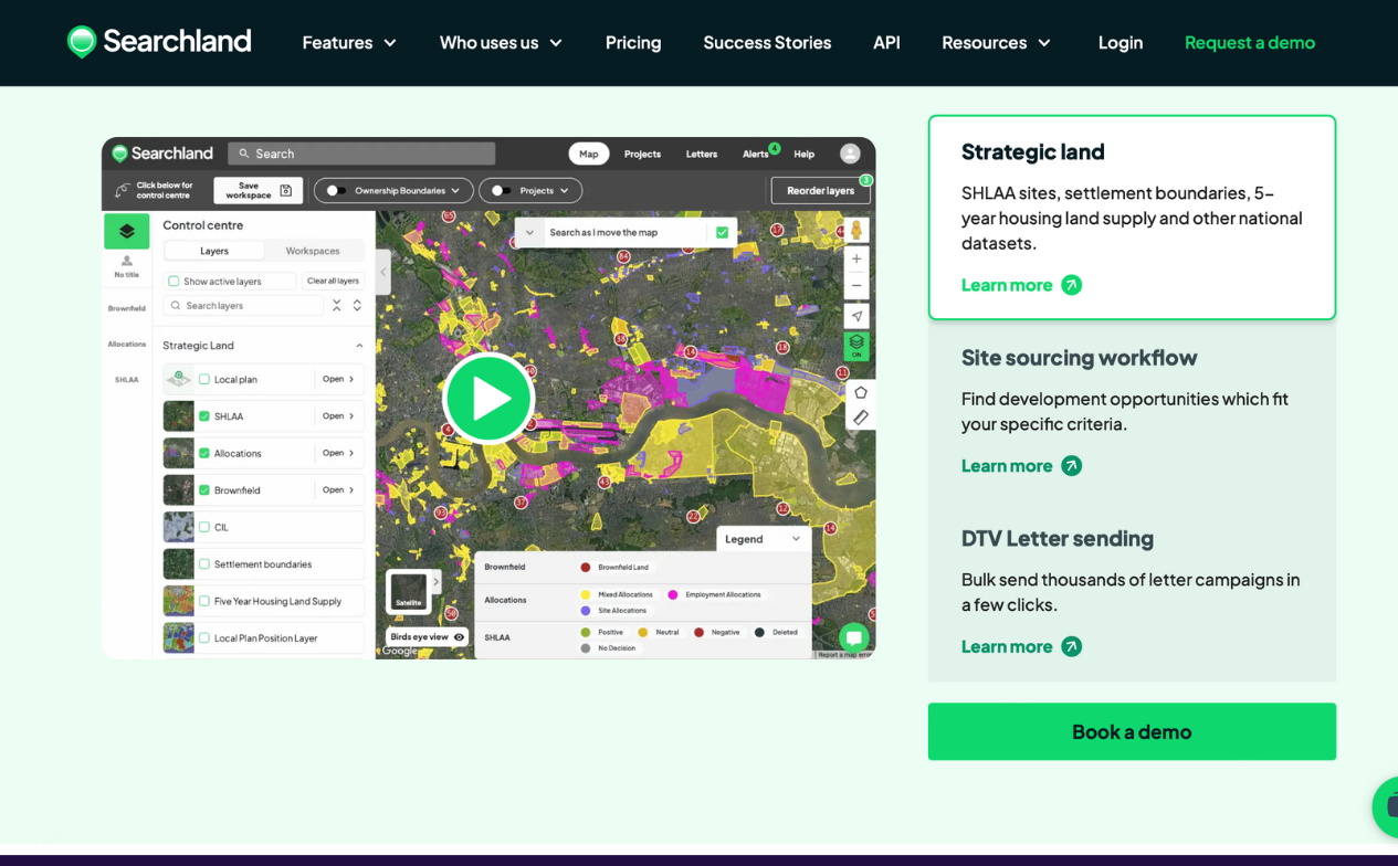
Integrated ArcGIS to provide geographic data analysis and visualization, enabling users to easily view and interpret land and property data on interactive maps. This allows businesses to make more informed decisions based on geographical insights, such as location advantages or zoning data.
deveLOPMENT PROCESS
Roadmap
Modular Architecture and Microservices Setup
04.2023 - 07.2023
- Implement Nx monorepo structure for a modular, scalable codebase.
- Adopt microservices architecture using Node.js and Nest.js for backend services, ensuring maintainability and scalability.
- Set up initial backend and frontend services, ensuring independent module management and communication.
AI Integration for Data Processing and Insights
06.2023 - 09.2023
- Integrate GPT models from OpenAI to process and analyze land and property data gathered through the Chrome extension.
- Implement AI-driven features to provide users with advanced insights, enhancing data analysis and decision-making.
- Develop UI components for presenting AI insights to users in an intuitive manner.
Automated Data Gathering and Geographic Analysis
09.2023 - 01.2024
- Deploy Puppeteer for real-time web scraping to gather property and land data from various online sources.
- Integrate ArcGIS for geographic data analysis and visualization, enabling users to view and interpret data on interactive maps.
- Implement extraction and upload functionality for geographic data to ArcGIS servers.
Optimization, Testing, and Finalization
01.2024 - 04.2024
- Conduct optimization of the platform to improve performance, scalability, and reliability.
- Test and refine AI-driven features, geographic data tools, and web scraping functionalities to ensure seamless operation.
- Finalize deployment, ensure data accuracy, and prepare the platform for full-scale release.
Main Functionality
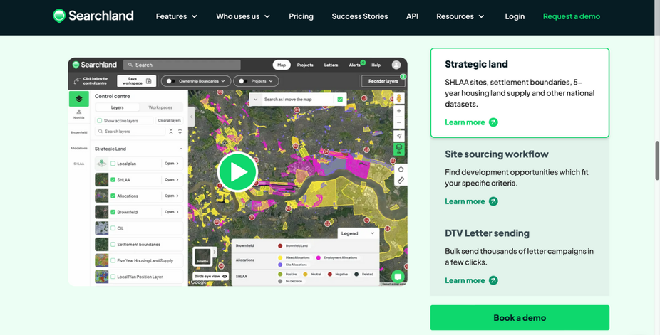
Geographic Data Visualization and Analysis:
ArcGIS integration enables geographic data analysis and visualization, allowing users to view and interpret property and land data on interactive maps. This enhances decision-making by offering spatial insights such as location advantages, zoning information, and land availability.
Contact Us
Please contact us for any further information


